

Topographical Surveys
What is a Topographical Survey?
A topographical survey records the position, levels, and features of a site. This typically includes features such as:
-
Buildings and structures
-
Boundaries and fences
-
Roads, footpaths, and hardstanding
-
Trees, hedges, and vegetation
-
Levels, contours, and spot heights
-
Drainage covers and service features
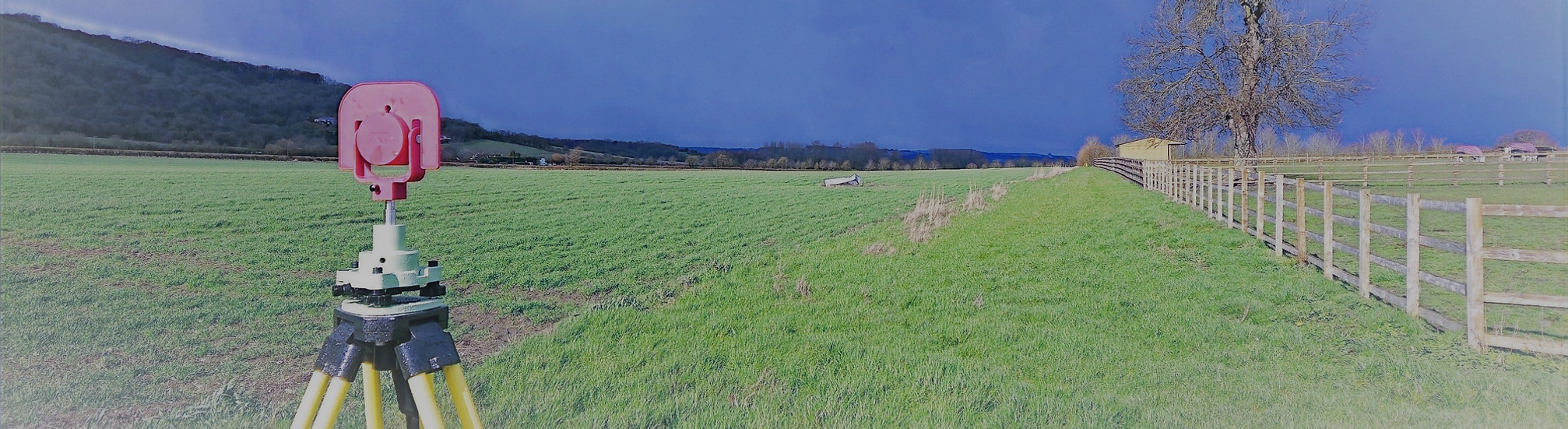
At Total Geomatics, we provide accurate and reliable topographical surveys to support architects, engineers, developers, and homeowners at every stage of a project.
Using high-precision Leica survey equipment, we capture detailed information about the natural and built features of a site, ensuring you have a clear and dependable base for design, planning, and construction.
Survey Features
Our topographical surveys can include a variety of features depending on your project requirements, such as:
-
Contours and levels
-
3D line work for modelling and design
-
.XYZ coordinate files for precise data export
-
Underground services (where visible or accessible)
-
Ordnance Survey overlays for accurate reference
-
Drone imagery to capture site context and hard-to-reach areas
We tailor each survey to ensure you receive the information most relevant to your project.
Deliverables
All survey data is processed and CAD work is carried out in-house by our team of trained CAD technicians, ensuring accuracy, consistency, and a quick turnaround.
We provide all drawings by email in digital format, usually in .DWG and .PDF formats, however other formats can be provided.
Hard copy drawings can be supplied for an additional fee if required.
Total Geomatics Ltd Providing Professional Land and Measured Building Survey Services Throughout the UK
We specialise in providing all types of professional measured surveying services throughout the industry, to ensure we provide a professional service that meets the requirements of our client.


Floor Plans

Elevations

Setting Out

Land Registry Plans

Drone Services

3d Laser Scanning