

External Roof Plans
What is an External Roof Plan?
An External Roof Plan is a scaled drawing that illustrates the layout and geometry of a building’s roof as viewed from above. It shows the shape, extent, and configuration of all roof elements, accurately reflecting the building as constructed.
An external roof plan typically includes key features such as:
-
Roof Ridges
-
Hips and Valleys
-
Eaves
-
Parapet Wall
-
Dormer Windows
-
Rooflights
-
Chimneys
-
Plant equipment
-
Changes in roof level
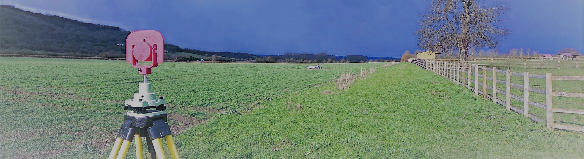
At Total Geomatics external roof plans are produced using measured survey data, often captured via Totalstation, GNSS, 3D laser scanning and UAV data ensuring high positional accuracy. The drawing is usually coordinated with floor plans, elevations, and sections to provide a complete understanding of the building envelope.
What are External Roof Plans Used For?
External roof plans are used across a range of design, construction, and property-related disciplines, including:
-
Architectural design
To inform roof alterations, extensions, loft conversions, and redevelopment proposals. -
Planning applications
To clearly demonstrate roof form, massing, and any proposed changes to local planning authorities. -
Construction and detailing
To assist contractors in understanding roof geometry, junctions, and access requirements. -
Drainage and rainwater design
To identify falls, gutters, downpipes, and drainage routes. -
Maintenance and refurbishment
To assess roof condition, locate features, and plan repairs or replacement works. -
Solar and plant installation
To support feasibility studies for photovoltaic panels, green roofs, or mechanical equipment. -
Heritage and conservation projects
To accurately record complex or historic roof structures for preservation and restoration.
Deliverables
All survey data is processed and CAD work is carried out in-house by our team of trained CAD technicians, ensuring accuracy, consistency, and a quick turnaround.
Plans are typically supplied at scales such as 1:50 or 1:100 and can be tailored to suit the need of the individual project.
We provide all drawings by email in digital format, usually in .DWG and .PDF formats, however other formats can be provided.
Hard copy drawings can be supplied for an additional fee if required.
Total Geomatics Ltd Providing Professional Land and Measured Building Survey Services Throughout the UK
We specialise in providing all types of professional measured surveying services throughout the industry, to ensure we provide a professional service that meets the requirements of our client.


Floor Plans

Elevations

Setting Out

Land Registry Plans

Drone Services

3d Laser Scanning