

3d Laser Scanning
What is 3d Laser Scanning?
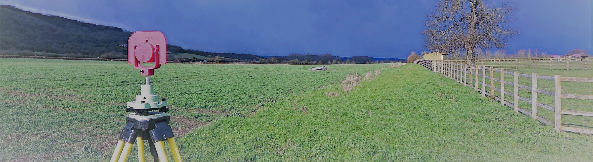
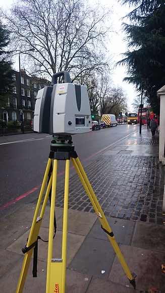
At Total Geomatics, 3D laser scanning is a core survey method we use to accurately capture buildings and environments in exceptional detail. Using advanced Leica laser scanning technology, we record millions of precise measurements to create a highly detailed 3D point cloud that represents the site exactly as it exists.
This non-intrusive survey technique allows us to capture complex geometry quickly and safely, making it ideal for both modern buildings and historic structures. Our scanning data is fully controlled and coordinated with total station and GNSS observations, ensuring accuracy and reliability across all deliverables.
What we Capture
-
Internal and external building geometry, including walls, floors, ceilings, and roofs
-
Doors, windows, staircases, columns, beams, and architectural features
-
Floor-to-floor heights, ceiling levels, and roof levels
-
Façades, elevations, and surrounding site context
-
Complex or irregular structures such as curved walls and historic fabric
-
High-density spatial data suitable for CAD and BIM production
How is 3d Laser Scanning Used?
The data we capture through 3D laser scanning supports a wide range of projects, including:
-
Measured building surveys
Accurate production of floor plans, elevations, sections, and roof plans. -
Architectural design and refurbishment
Providing designers with reliable existing-condition data to reduce risk and rework. -
BIM and 3D modelling
Creating accurate 3D models and coordinated datasets for design and coordination. -
Heritage and conservation projects
Detailed recording of historic buildings without physical contact or disturbance. -
Construction and coordination
Assisting with clash detection, verification, and project planning. -
Asset management and maintenance
Supporting long-term building management and future development.
Deliverables
All survey data is processed and CAD work is carried out in-house by our team of trained CAD technicians, ensuring accuracy, consistency, and a quick turnaround.
Plans are typically supplied at scales such as 1:50 or 1:100 and can be tailored to suit the need of the individual project.
We provide all drawings by email in digital format, usually in .DWG and .PDF formats, however other formats can be provided.
Hard copy drawings can be supplied for an additional fee if required.
Total Geomatics Ltd Providing Professional Land and Measured Building Survey Services Throughout the UK
We specialise in providing all types of professional measured surveying services throughout the industry, to ensure we provide a professional service that meets the requirements of our client.


Floor Plans

Elevations

Setting Out

Land Registry Plans

Drone Services

3d Laser Scanning