

Floor Plans
What is Measured Floor Plan?
A measured floor plan is an accurate, scaled drawing that shows the internal layout of a building exactly as it exists at the time of survey. Unlike estate agent plans or historic drawings, measured floor plans are created from precise on-site measurements, ensuring they can be relied upon for design, planning, and construction purposes.
Depending on the project requirements, a measured floor plan can show:
-
Internal and external wall positions
-
Room layouts
-
Doors and windows, including positions and opening directions
-
Staircases, landings, and changes in level
-
Fixed features such as columns, fireplaces, and built-in units
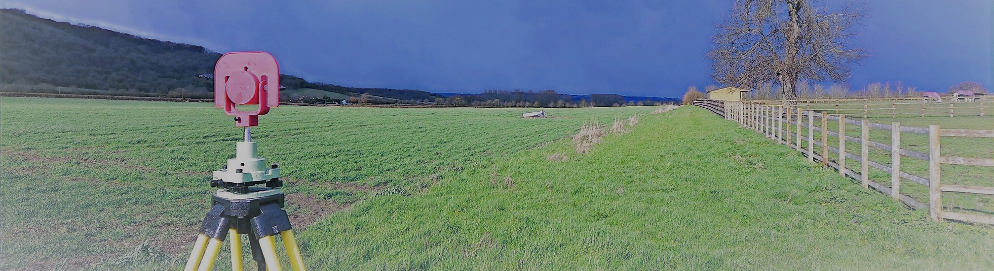
At Total Geomatics, measured floor plans are produced using a combination of Totalstations, GNSS, and 3D laser scanning. This approach allows us to capture all areas of the property accurately, including complex or irregular layouts. The survey data is then processed in-house by our trained CAD technicians to produce clear, precise drawings.
What are Measured Surveys Used For?
Measured floor plans are commonly required for:
-
Planning and listed building applications
-
Architectural design and refurbishments
-
Building regulations drawings
-
Property management and space planning
-
Accurate record drawings
Deliverables
All survey data is processed and CAD work is carried out in-house by our team of trained CAD technicians, ensuring accuracy, consistency, and a quick turnaround.
Plans are typically supplied at scales such as 1:50 or 1:100 and can be tailored to suit the need of the individual project.
We provide all drawings by email in digital format, usually in .DWG and .PDF formats, however other formats can be provided.
Hard copy drawings can be supplied for an additional fee if required.
Total Geomatics Ltd Providing Professional Land and Measured Building Survey Services Throughout the UK
We specialise in providing all types of professional measured surveying services throughout the industry, to ensure we provide a professional service that meets the requirements of our client.


Floor Plans

Elevations

Setting Out

Land Registry Plans

Drone Services

3d Laser Scanning