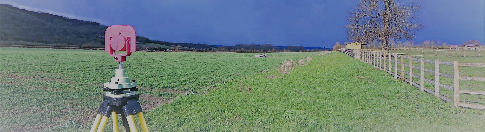


Land Registry Plans & Determined Boundary Surveys
Land Registry Plans
What Is a Land Registry Plan?
A Land Registry plan is a precise, scaled plan prepared to meet HM Land Registry requirements, typically used to support first registrations, transfers of part, boundary clarifications, or lease plans. At Total Geomatics, we produce Land Registry–compliant plans based on accurate site measurements, ensuring boundaries and extents are clearly and unambiguously defined.
All plans are drawn to the correct scale, include sufficient surrounding detail for identification, and are suitable for submission to HM Land Registry by solicitors or property professionals.
What We Provide
Our Land Registry plan services include:
-
Accurate survey of property boundaries and extents
-
Plans drawn to recognised scales in line with HM Land Registry guidance
-
Clearly defined boundaries edged in colour where required
-
Identification of adjoining land and key physical features
-
Orientation, scale bars, and unique plan references
-
Lease plans, transfer of part plans, and title plans
Determined Boundary Surveys
What Is a Determined Boundary Survey?
A Determined Boundary Survey is a detailed, evidence-based survey undertaken to identify and define the precise position of a legal property boundary. Unlike standard title plans, which show boundaries in general terms only, a determined boundary fixes the boundary position accurately and can be registered with HM Land Registry under Section 60 of the Land Registration Act 2002.
At Total Geomatics, our role is to carry out the measured survey and preparation of the determined boundary drawing and plan. We do not provide legal services or make legal determinations. Any application to HM Land Registry must be submitted by a suitably qualified legal representative, such as a solicitor or conveyancer, acting on behalf of the client.
What We Provide
As part of a determined boundary commission, we provide:
-
High-accuracy measurement of existing boundary features such as fences, walls, hedges, and buildings
-
Survey drawings clearly defining the proposed boundary position
-
Plans prepared in accordance with HM Land Registry requirements
-
Supporting plans suitable for submission as part of a determined boundary application
-
Clear, professional documentation for use by legal representatives
Deliverables
All survey data is processed and CAD work is carried out in-house by our team of trained CAD technicians, ensuring accuracy, consistency, and a quick turnaround.
Plans are typically supplied at scales such as 1:50 or 1:100 and can be tailored to suit the need of the individual project.
We provide all drawings by email in digital format, usually in .DWG and .PDF formats, however other formats can be provided.
Hard copy drawings can be supplied for an additional fee if required.
Total Geomatics Ltd Providing Professional Land and Measured Building Survey Services Throughout the UK
We specialise in providing all types of professional measured surveying services throughout the industry, to ensure we provide a professional service that meets the requirements of our client.


Floor Plans

Elevations

Setting Out

Land Registry Plans

Drone Services

3d Laser Scanning