

Elevations
What Is an Elevation Survey?
An Elevation Survey is a detailed measured survey of a building’s external vertical faces, accurately recording the form, proportions, and architectural features of each elevation. The survey represents the building as viewed from the outside and is produced as scaled elevation drawings that reflect the building’s true geometry and appearance.
An elevation survey typically records all visible external features, including:
-
Overall building dimensions
Heights, widths, floor-to-floor levels, and roof levels. -
Openings
Doors, windows, shopfronts, vents, and louvers, including sizes, positions, and sill and head heights. -
Architectural features
Cornices, string courses, pilasters, balconies, canopies, decorative mouldings, and façade details. -
Roof elements (as visible)
Eaves, parapets, chimneys, dormers, rooflights, and changes in roof profile. -
Materials and finishes
Changes in façade materials, cladding types, brickwork patterns, and render extents (where required). -
External fixtures and services
Rainwater goods, meter boxes, lighting, signage, cabling, and ventilation grilles. -
Ground levels and thresholds
Pavement levels, entrance steps, ramps, and changes in external level. -
Neighbouring buildings, party walls, boundary features, and street furniture for street scene elevations.
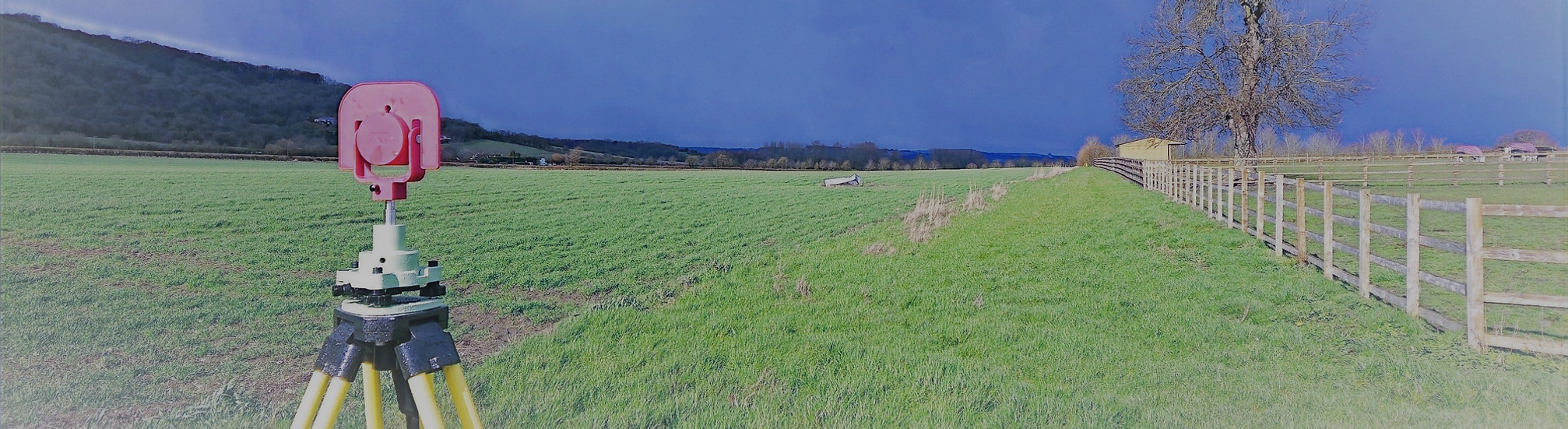
Elevation surveys are created using precise measurement techniques such as total station observations and 3D laser scanning, often tied into a common site control network. This ensures the elevations are geometrically accurate and fully coordinated with floor plans, roof plans, and sections.

What Is an Elevation Survey used for?
Elevation surveys are widely used across design, planning, and construction disciplines, including:
-
Architectural design and development
To support extensions, refurbishments, façade alterations, and recladding projects. -
Planning and listed building applications
To clearly demonstrate existing conditions and assess the impact of proposed changes. -
Conservation and heritage recording
To document historic façades and architectural detail for repair, restoration, or replication. -
Construction and refurbishment works
To provide accurate dimensional information for contractors and specialist trades. -
Rights of light and daylight studies
To supply accurate façade geometry for technical assessments. -
Party wall and legal matters
To support condition records and boundary-related documentation. -
Asset management and maintenance
To help plan inspection, access, and long-term maintenance strategies.
Deliverables
All survey data is processed and CAD work is carried out in-house by our team of trained CAD technicians, ensuring accuracy, consistency, and a quick turnaround.
Plans are typically supplied at scales such as 1:50 or 1:100 and can be tailored to suit the need of the individual project.
We provide all drawings by email in digital format, usually in .DWG and .PDF formats, however other formats can be provided.
Hard copy drawings can be supplied for an additional fee if required.
Total Geomatics Ltd Providing Professional Land and Measured Building Survey Services Throughout the UK
We specialise in providing all types of professional measured surveying services throughout the industry, to ensure we provide a professional service that meets the requirements of our client.


Floor Plans

Elevations

Setting Out

Land Registry Plans

Drone Services

3d Laser Scanning