

Drone Surveys
What is an External Roof Plan?
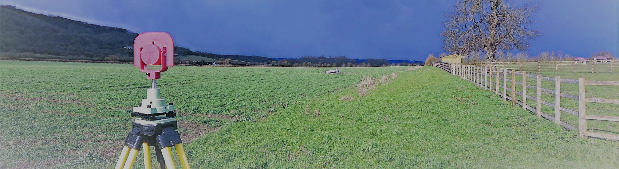
At Total Geomatics, our UAV (Unmanned Aerial Vehicle) surveys, commonly referred to as drone surveys, provide a fast, flexible, and highly accurate way to capture detailed aerial data. Using advanced drones equipped with high-resolution cameras and GPS positioning, we can survey areas that are difficult to access, large in scale, or require detailed top-down imagery.
Drone surveys complement traditional survey methods such as Totalstation, GNSS, and 3D laser scanning, offering a bird’s-eye view of sites to enhance planning, design, and monitoring.
What We Capture
Our UAV surveys can provide:
-
Topographical and site mapping – generating accurate site models and contour data.
-
Roof and building inspections – capturing detailed imagery for condition surveys without the need for scaffolding or access equipment.
-
Volume calculations – ideal for quarries, stockpiles, and earthworks projects.
-
Construction progress monitoring – providing up-to-date aerial imagery to track works and report to stakeholders.
-
Orthophotos and aerial imagery – high-resolution, georeferenced images for planning, marketing, or GIS use.
-
3D models – producing digital terrain models (DTM), 3D meshes, and visualisations from aerial survey data.
Uses of UAV / Drone Surveys
Drone surveys are used across a wide range of sectors, including:
-
Measured building surveys – to complement ground-based measurements and capture roof or hard-to-reach areas.
-
Civil engineering and infrastructure projects – for site mapping, volume calculations, and project monitoring.
-
Planning and development applications – to produce accurate aerial imagery and context for proposals.
-
Condition and asset inspections – inspecting roofs, façades, solar panels, and other hard-to-access structures safely.
-
Heritage and conservation recording – capturing historic buildings and landscapes from angles impossible to reach on foot.
-
Marketing and visualisation – providing aerial imagery for promotional materials or client presentations.
Deliverables
All survey data is processed and CAD work is carried out in-house by our team of trained CAD technicians, ensuring accuracy, consistency, and a quick turnaround.
Plans are typically supplied at scales such as 1:50 or 1:100 and can be tailored to suit the need of the individual project.
We provide all drawings by email in digital format, usually in .DWG and .PDF formats, however other formats can be provided.
Hard copy drawings can be supplied for an additional fee if required.
Total Geomatics Ltd Providing Professional Land and Measured Building Survey Services Throughout the UK
We specialise in providing all types of professional measured surveying services throughout the industry, to ensure we provide a professional service that meets the requirements of our client.


Floor Plans

Elevations

Setting Out

Land Registry Plans

Drone Services

3d Laser Scanning