

Setting Out
What is Setting Out?
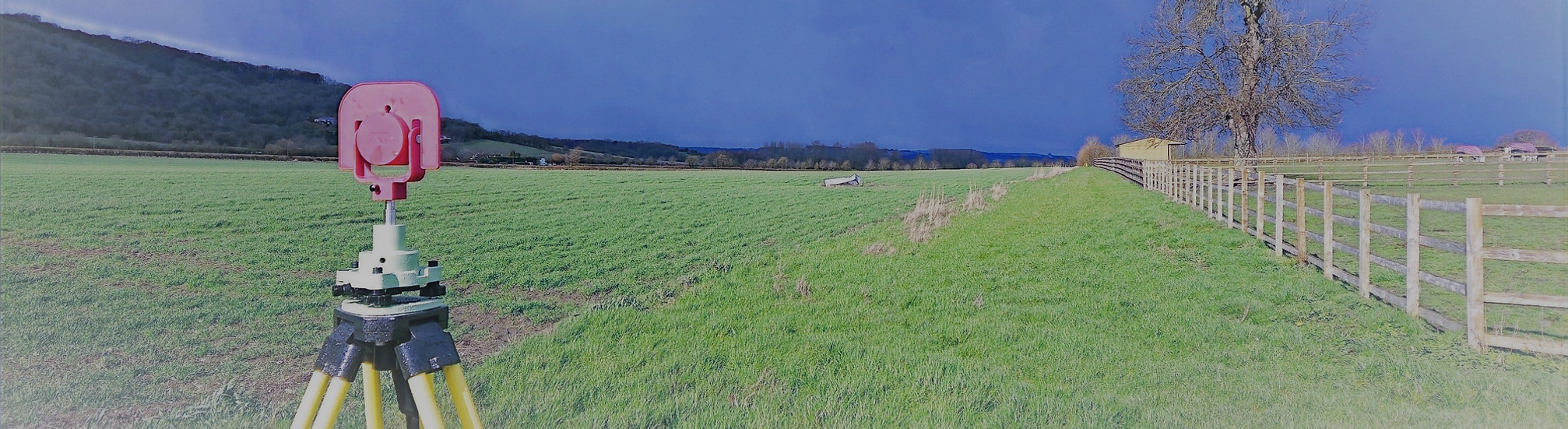
Setting out (sometimes called staking out) is the process of transferring a building or construction design from plans on paper into the real-world site. It involves marking the exact positions, levels, and alignments of structures or features on the ground, ensuring that construction follows the design precisely.
Using highly accurate survey equipment such as total stations, GNSS receivers, and, Total Geomatics provides setting out services that give contractors clear, reliable reference points for construction. This ensures that walls, foundations, roads, utilities, and other structures are built in the correct location, orientation, and elevation.
Setting out typically includes:
-
Establishing site control – creating a network of reference points across the site.
-
Marking positions – placing pegs, nails, or spray markings to show the exact location of structures or features.
-
Level checks – ensuring that floor levels, foundation depths, and finished surfaces are correct.
-
Reference for construction – providing ongoing guidance for contractors during the build process.
How Setting Out is Utilised
Setting out is essential for:
-
Building construction – foundations, walls, extensions, and structural frameworks.
-
Civil engineering works – roads, drainage, embankments, and utilities.
-
Infrastructure projects – bridges, tunnels, and rail lines.
-
Refurbishment or alterations – ensuring new elements align perfectly with existing structures.
-
Reducing errors and rework – precise setting out avoids costly mistakes and delays.
Deliverables
All survey data is processed and CAD work is carried out in-house by our team of trained CAD technicians, ensuring accuracy, consistency, and a quick turnaround.
Plans are typically supplied at scales such as 1:50 or 1:100 and can be tailored to suit the need of the individual project.
We provide all drawings by email in digital format, usually in .DWG and .PDF formats, however other formats can be provided.
Hard copy drawings can be supplied for an additional fee if required.
Total Geomatics Ltd Providing Professional Land and Measured Building Survey Services Throughout the UK
We specialise in providing all types of professional measured surveying services throughout the industry, to ensure we provide a professional service that meets the requirements of our client.


Floor Plans

Elevations

Setting Out

Land Registry Plans

Drone Services

3d Laser Scanning