

CAD Services
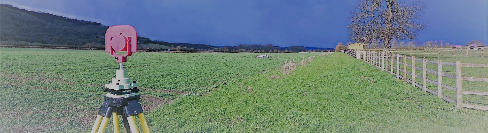
At Total Geomatics, our CAD (Computer-Aided Design) surveys translate the data captured from site measurements into accurate, fully detailed digital drawings. Using precise measurements collected via total station, GNSS, and 3D laser scanning, we produce high-quality CAD drawings that form the backbone of architectural, engineering, and construction projects.
Our in-house team of trained CAD technicians ensures every drawing is consistent, fully annotated, and tailored to your project’s specific requirements, ready to be used for design, planning, or construction purposes.
What We Provide in CAD Surveys
-
Site and topographical plans – contours, boundaries, levels, and external features.
-
Floor plans – fully measured and accurately scaled, showing walls, doors, windows, and other features.
-
Elevations and sections – precise representations of internal and external façades.
-
Roof plans – including ridges, valleys, parapets, and roof features.
-
As-built drawings – capturing the existing conditions of completed buildings for documentation or refurbishment.
-
Point cloud to 2d CAD drawing generation
-
Basic proposed design work
-
NIA and GIA calculations
-
Drone Image overlays
Deliverables
We provide all drawings by email in digital format, usually in .DWG and .PDF formats, however other formats can be provided.
Hard copy drawings can be supplied for an additional fee if required.
Total Geomatics Ltd Providing Professional Land and Measured Building Survey Services Throughout the UK
We specialise in providing all types of professional measured surveying services throughout the industry, to ensure we provide a professional service that meets the requirements of our client.


Floor Plans

Elevations

Setting Out

Land Registry Plans

Drone Services

3d Laser Scanning